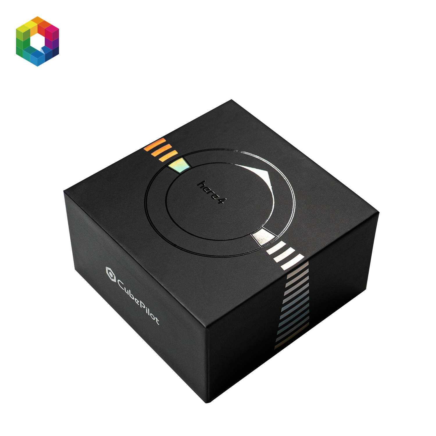
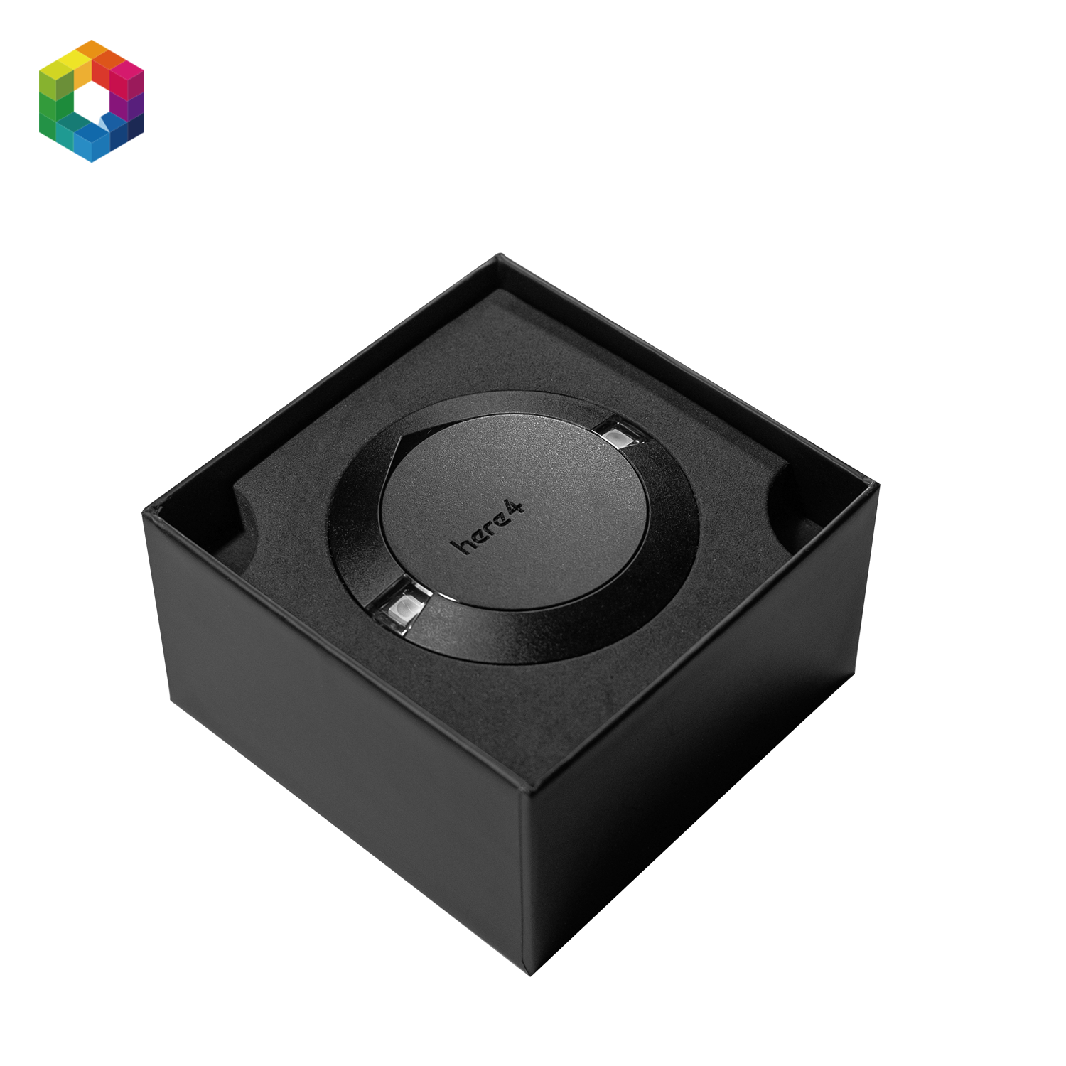
CubePilot Here4 GPS – RTK GNSS Module
CubePilot Here4 GPS – RTK GNSS Module
SKU:HX4-06248
Out of stock
Couldn't load pickup availability
Next-gen Precision: CubePilot Here4 GPS
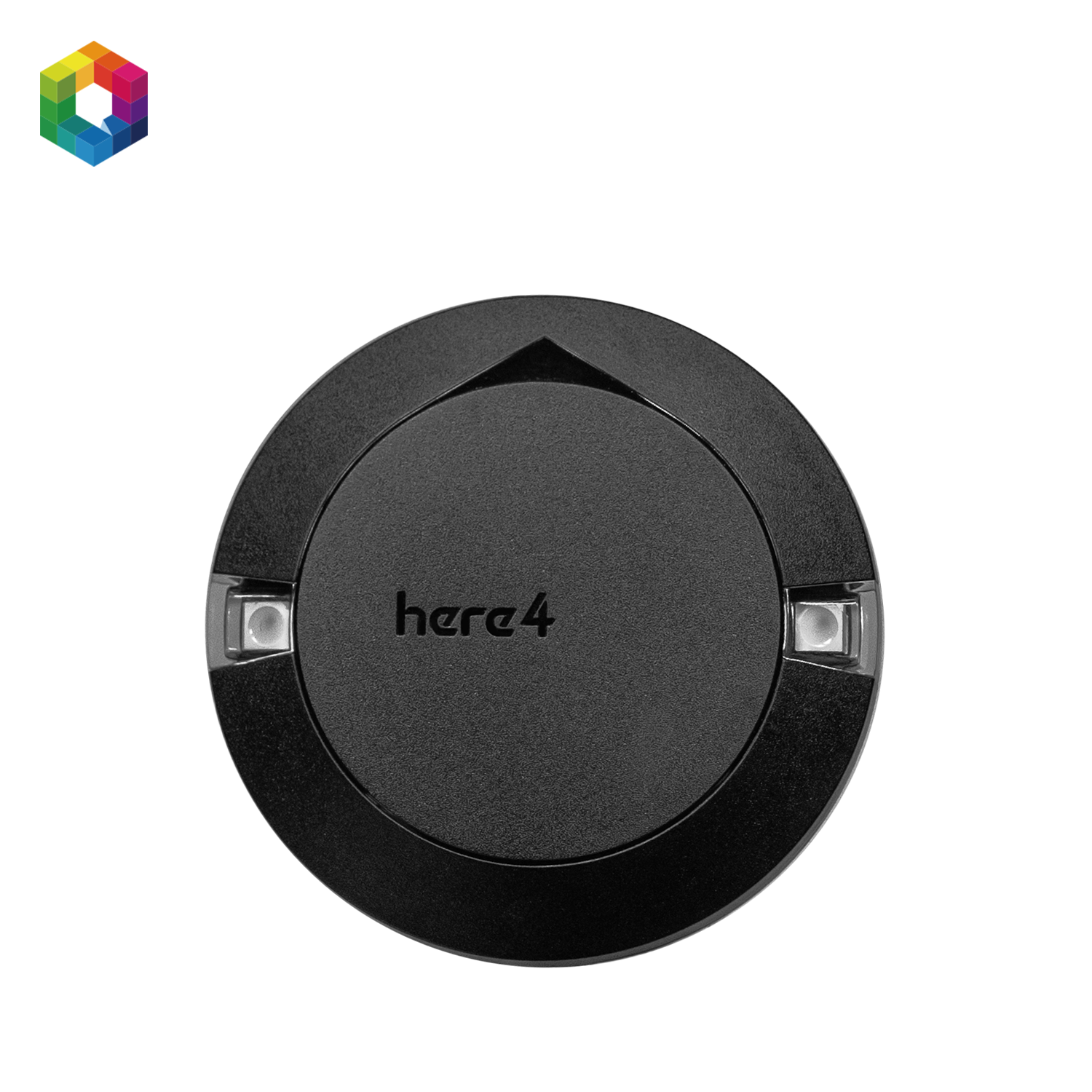
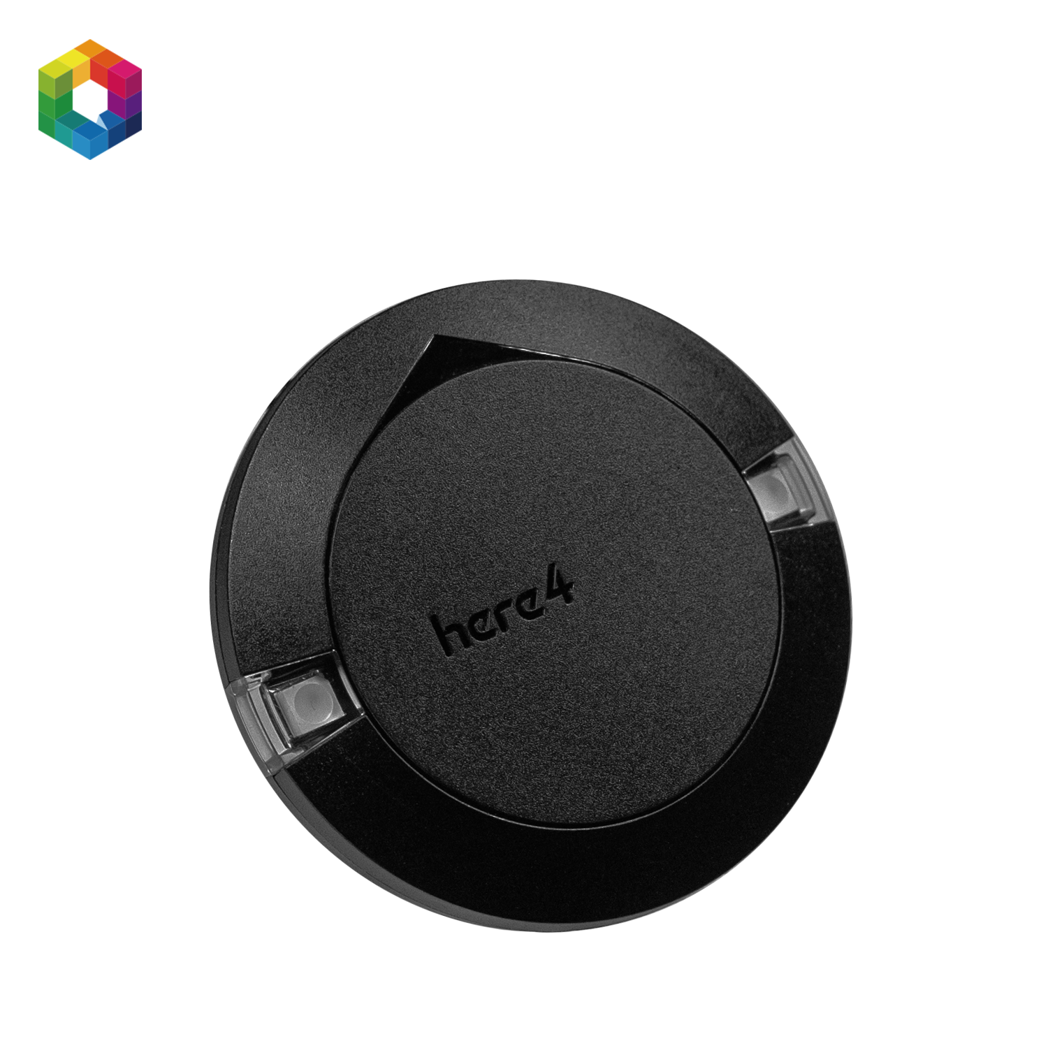
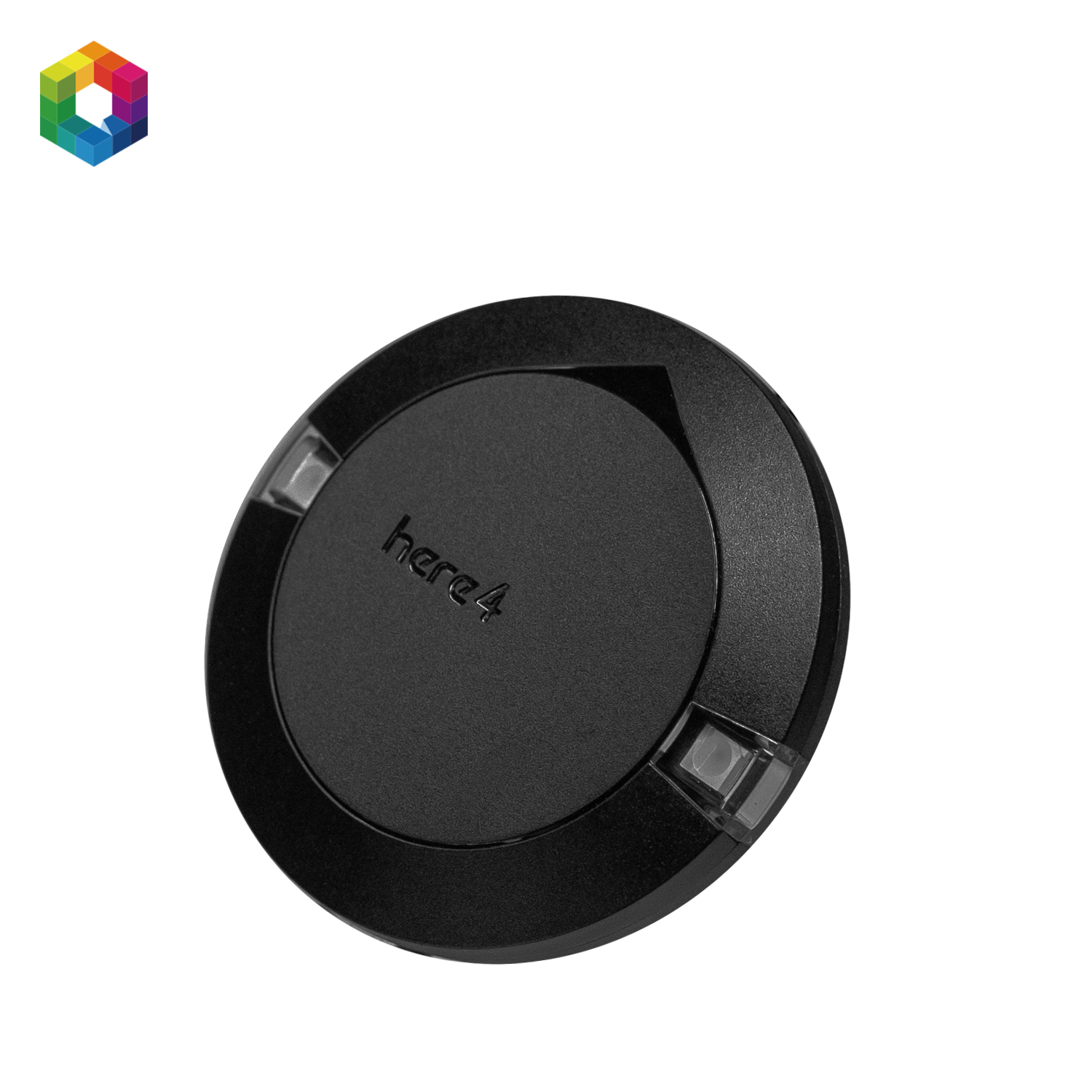
The CubePilot Here4 GPS is a professional RTK GNSS module designed for high-end drone and robotics applications where accuracy, reliability, and compatibility are critical. Featuring dual-band RTK, a u-blox F9P GNSS chipset, and UAVCAN communication, the Here4 delivers centimeter-level positioning in even the most demanding environments.
Perfect for mapping, surveying, infrastructure inspection, and precision agriculture, the Here4 is fully compatible with systems such as the Cube Orange+ flight controller and other Pixhawk-based platforms.
Pair with the Here4 Base for Optimal RTK Performance
To unlock the full potential of RTK accuracy, the CubePilot Here4 GPS pairs seamlessly with the Here4 Base Station. This high-precision GNSS base module communicates RTCM correction data to the Here4 GPS, enabling real-time sub-centimeter positioning.
By providing a fixed reference point, the base station corrects for GNSS signal drift and environmental noise—essential for precision agriculture, 3D mapping, and infrastructure inspection applications.
➡️ Explore the Here4 Base GNSS Module for a complete RTK solution.
Key Features of the Here4 GPS
-
✅ u-blox ZED-F9P GNSS module
Multi-band GNSS receiver (L1/L2) supporting GPS, GLONASS, Galileo, and BeiDou.
RTK support for centimeter-level accuracy. -
✅ Dual-band antenna
Enhanced signal stability and accuracy, even in challenging environments. -
✅ UAVCAN and CAN communication
Fully integrates with modern autopilots via CAN interface. Supports GPS, barometer, IMU, and magnetometer over UAVCAN. -
✅ Integrated sensors
Built-in barometer, 9DOF IMU, and compass (ICM-42688-P + IST8308) for redundant navigation data. -
✅ Reliable fix status LED
Visual feedback on GNSS lock and RTK status. -
✅ Rugged housing with magnetic base
Designed for easy and stable mounting on UAVs.
Compatibility
The Here4 GPS is fully compatible with:
-
Cube Orange & Cube Orange+
-
Pixhawk 4 / 6X / 6C (via UAVCAN)
-
ArduPilot and PX4 firmware (UAVCAN GNSS drivers required)
-
Can replace Here2 or Here3 setups without hardware changes
Applications and Benefits
The CubePilot Here4 GPS offers ultra-precise navigation for professionals working in:
-
Mapping & Surveying – generate accurate 3D maps and orthomosaics
-
Industrial Inspection – safely inspect power lines, bridges, and structures
-
Precision Agriculture – optimize planting and harvesting at the field level
-
Autonomous Vehicles & Robotics – stable location data for complex missions
With RTK support, sensor integration, and UAVCAN communication, the Here4 GPS is a cornerstone for advanced autonomous systems.
Technical Specifications (Summary)
| Feature | Specification |
|---|---|
| GNSS Module | u-blox ZED-F9P (RTK, L1/L2) |
| Sensors | Barometer, 9DOF IMU (ICM-42688-P), Compass |
| Interface | UAVCAN / CAN |
| Voltage Range | 4.75V – 5.25V |
| Housing | Plastic, magnetic base |
| Weight | ±70g |
Support and assistance
If you need any advice or additional information about this product or your drone project, feel free to contact us.
![]()
Manufactured by CubePilot