
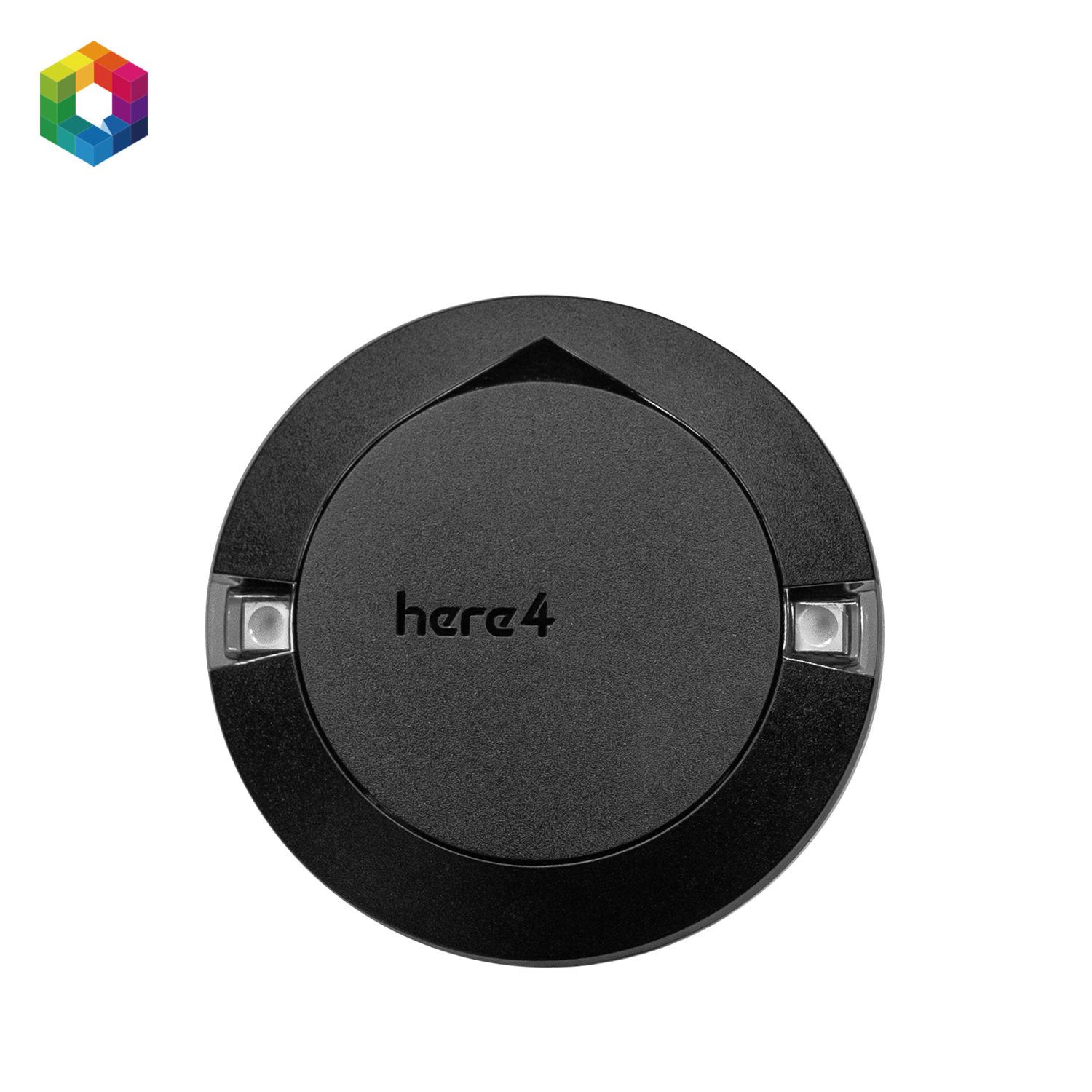
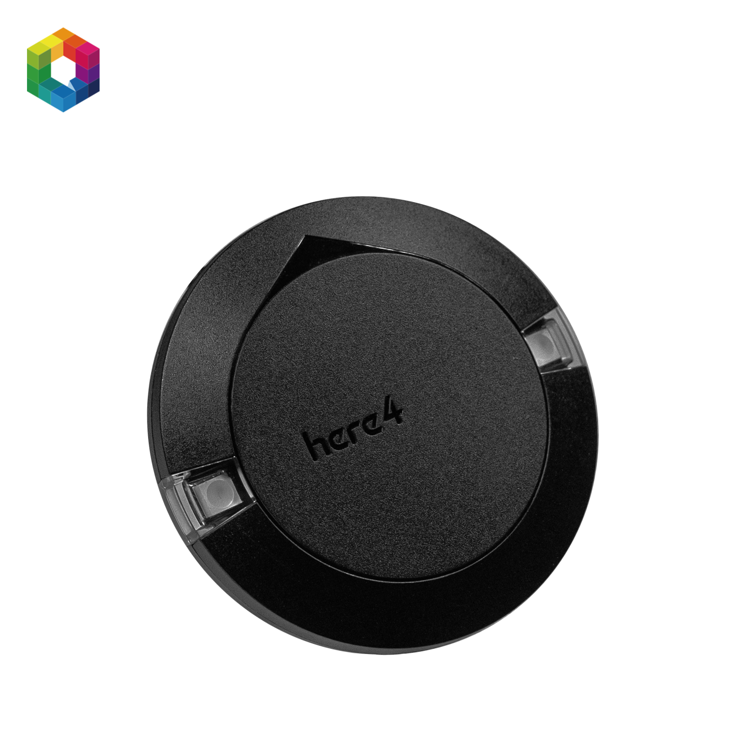
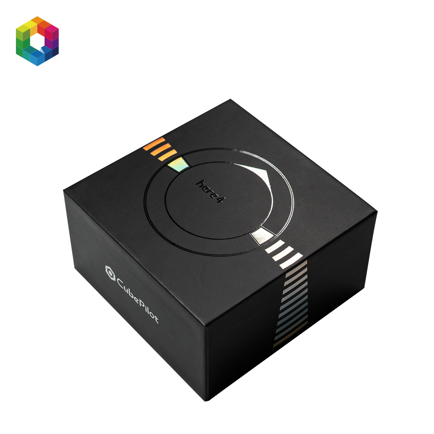
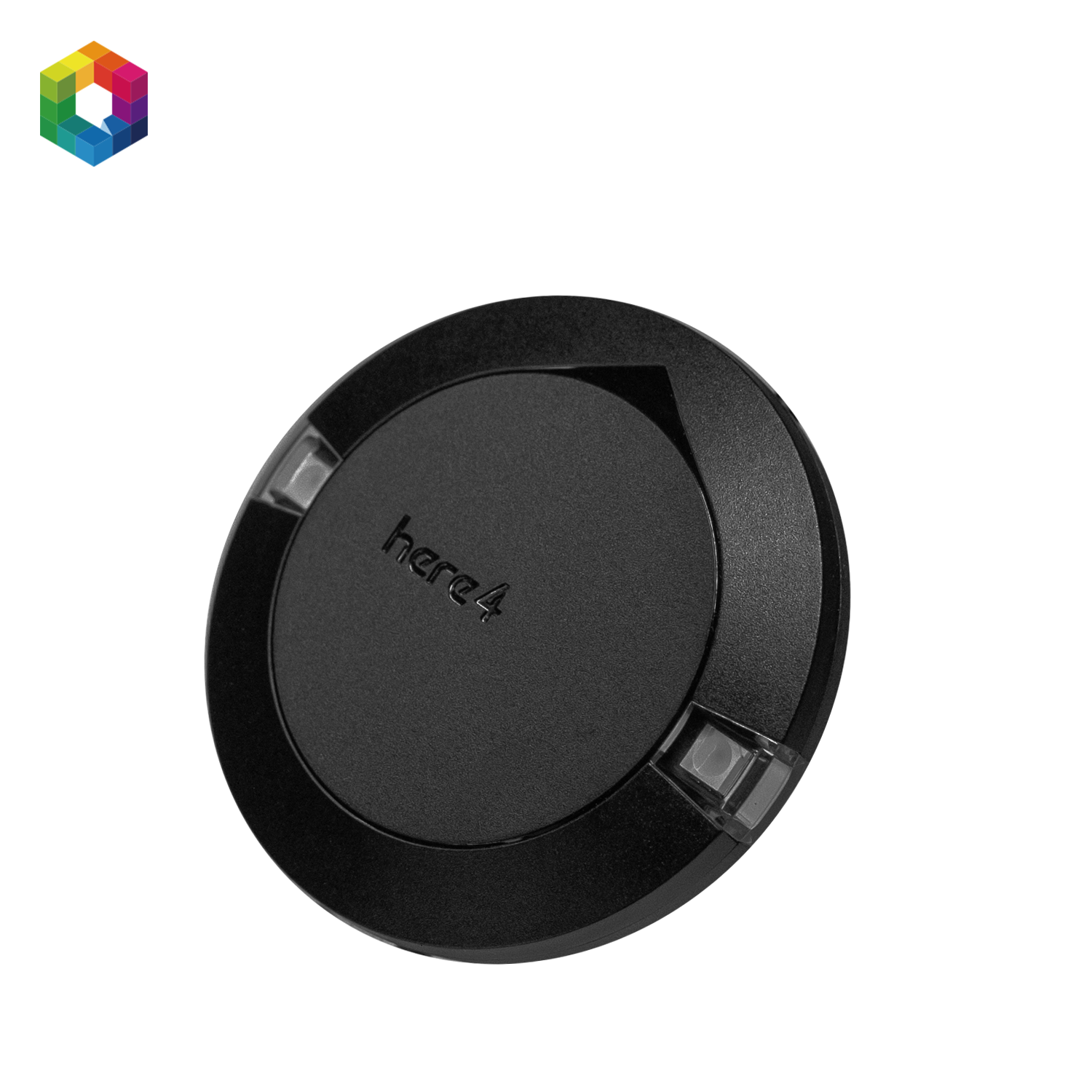
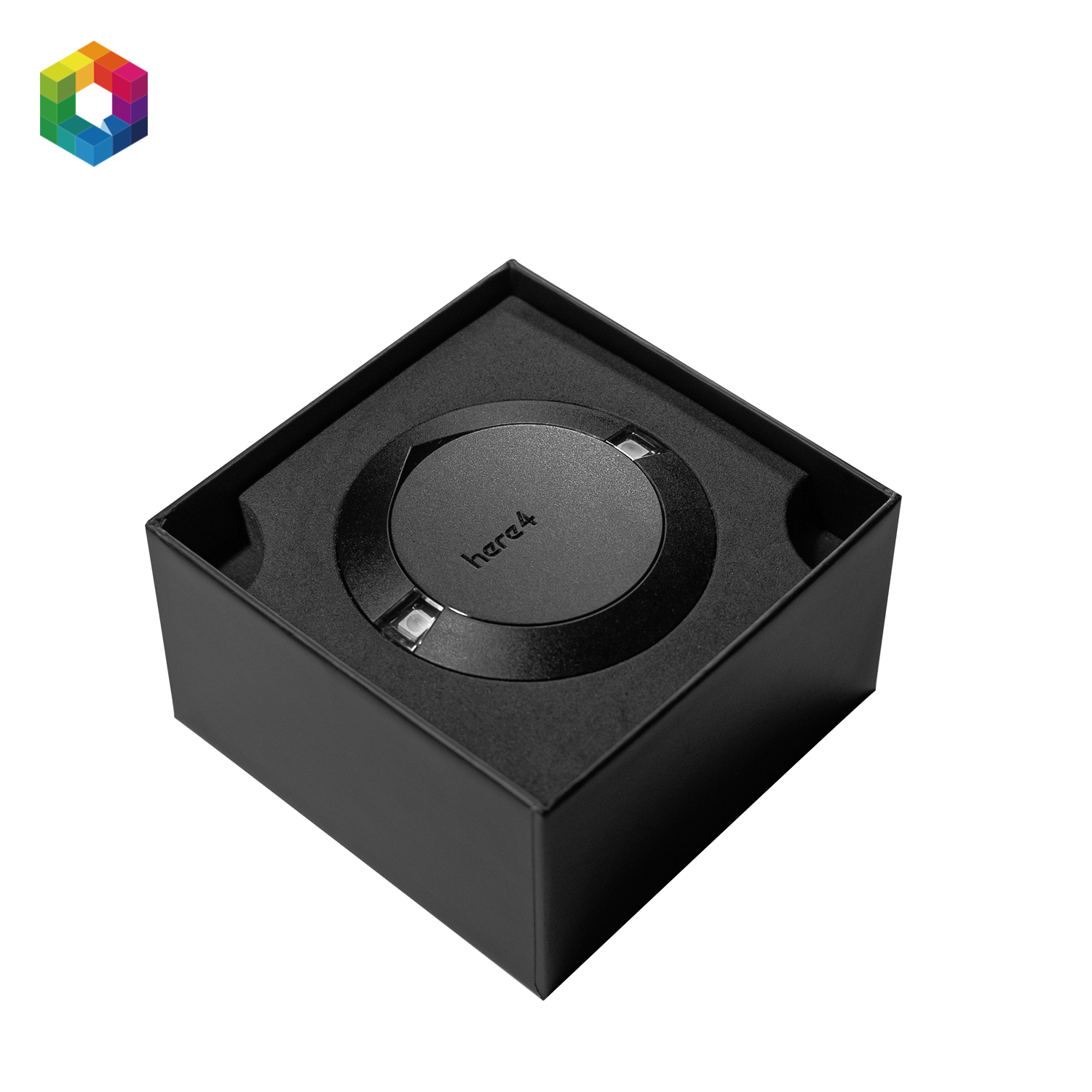
CubePilot Here4 GPS – RTK GNSS Module
Inclusief btw. Verzendkosten berekend bij het afrekenen
Professionele bestelondersteuning
Compatibiliteitsbevestiging, staffelprijzen of een formele offerte nodig? Vraag B2B-ondersteuning aan.
CubePilot Here4 GPS RTK GNSS Module for UAV Navigation
RTK setup note
The Here4 GPS is the rover/GNSS module. For RTK correction workflows, you also need a compatible RTK base station or correction source.
The CubePilot Here4 GPS is a professional RTK GNSS module for UAVs, robotics platforms, mapping systems, inspection drones, and precision agriculture applications. It combines a u-blox ZED-F9P GNSS receiver, dual-band RTK support, UAVCAN communication, and integrated navigation sensors in a compact module.
The Here4 GPS is designed for CubePilot and Pixhawk-based systems that require accurate positioning and reliable GNSS data. When paired with a compatible RTK base station, it can support centimeter-level positioning workflows for professional drone operations.
Key Features
- u-blox ZED-F9P GNSS receiver – Multi-band GNSS module with L1/L2 support for high-accuracy positioning.
- RTK support – Suitable for centimeter-level positioning workflows when used with a compatible RTK base station.
- UAVCAN / CAN communication – Integrates with modern CubePilot, Pixhawk, ArduPilot, and PX4 systems.
- Integrated navigation sensors – Includes barometer, 9DOF IMU, and compass for additional navigation data.
- Dual-band antenna design – Supports stable GNSS reception in demanding UAV applications.
- Fix status LED – Provides visual feedback on GNSS lock and RTK status.
- Rugged housing with magnetic base – Designed for stable and practical mounting on UAV platforms.
Technical Specifications
| Product type | RTK GNSS module for UAV navigation |
| GNSS module | u-blox ZED-F9P |
| GNSS support | L1 / L2 multi-band GNSS with RTK support |
| Integrated sensors | Barometer, 9DOF IMU, compass |
| Interface | UAVCAN / CAN |
| Voltage range | 4.75 V - 5.25 V |
| Housing | Plastic housing with magnetic base |
| Weight | Approx. 70 g |
Compatibility
The CubePilot Here4 GPS is designed for CubePilot and Pixhawk-based autopilot systems using UAVCAN GNSS drivers. It is suitable for setups such as:
- Cube Orange and Cube Orange+
- Pixhawk 4, Pixhawk 6X, and Pixhawk 6C via UAVCAN
- ArduPilot and PX4 firmware setups with UAVCAN GNSS support
- Systems replacing or upgrading from Here2 or Here3 GNSS modules
Recommended RTK Setup
For RTK workflows, pair the Here4 GPS with the CubePilot Here4 Base RTK GNSS Base Station. The base station provides RTCM correction data from a fixed reference point, helping improve positioning accuracy for mapping, surveying, inspection, and precision agriculture.
For related positioning products, view our GPS and GNSS for Drones collection.
Typical Applications
- Mapping and surveying – Accurate positioning for aerial mapping and terrain data collection.
- Infrastructure inspection – Reliable GNSS data for repeatable inspection missions.
- Precision agriculture – RTK positioning for field monitoring and automated workflows.
- Robotics and autonomous vehicles – Stable location data for advanced navigation systems.
Support and Assistance
If you need help choosing the right GNSS module, RTK base station, or CubePilot autopilot setup, please contact Aeroboticshop.
Manufactured by CubePilot.